Car Spare Parts
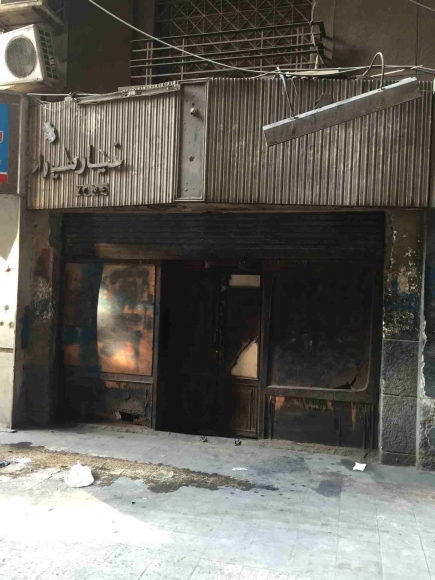
| Superblock: | D. Tal'at Harb Superblock |
| Passageway: | |
| Land Use Activity: | Retail |
| Frontage on passageway: | 4m |
| Address: | 10 Abd al-Hamid Sa'id St. |
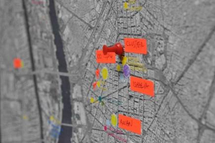
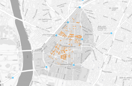
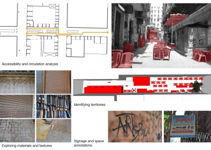
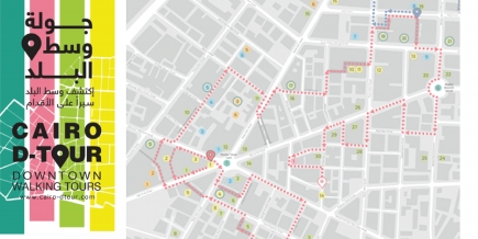
Cluster Mapping Initiative is part of CLUSTER’s mandate for critical engagement in the city and public space through urban research, programs and design interventions. This initiative aims at the documentation and analysis of tangible and intangible urban elements, and establishing a reliable archive available to researchers, designers and policy makers, and accessible to engaged citizens. It includes a series of interactive maps and archives, urban tours and thematic itineraries, as well as pilot interventions in public space. Cluster Mapping Initiative is an ongoing umbrella framework that seeks to expand its database through collaboration with complementary mapping projects and initiatives.

| Superblock: | D. Tal'at Harb Superblock |
| Passageway: | |
| Land Use Activity: | Retail |
| Frontage on passageway: | 4m |
| Address: | 10 Abd al-Hamid Sa'id St. |